NEWPORT TOWN & ESTUARY
DISTANCE: 1.3 miles (2.0 km).
PUBLIC TRANSPORT: please refer to Pembrokeshire County Council website
CHARACTER: All on surfaced pavements, estuary views. No stiles or steps, mostly surfaced.
From car park, turn right on to road. From bus stop, walk back along road into town.
Turn right at end and at next crossing, turn right into Parrog Road (signed Parrog).
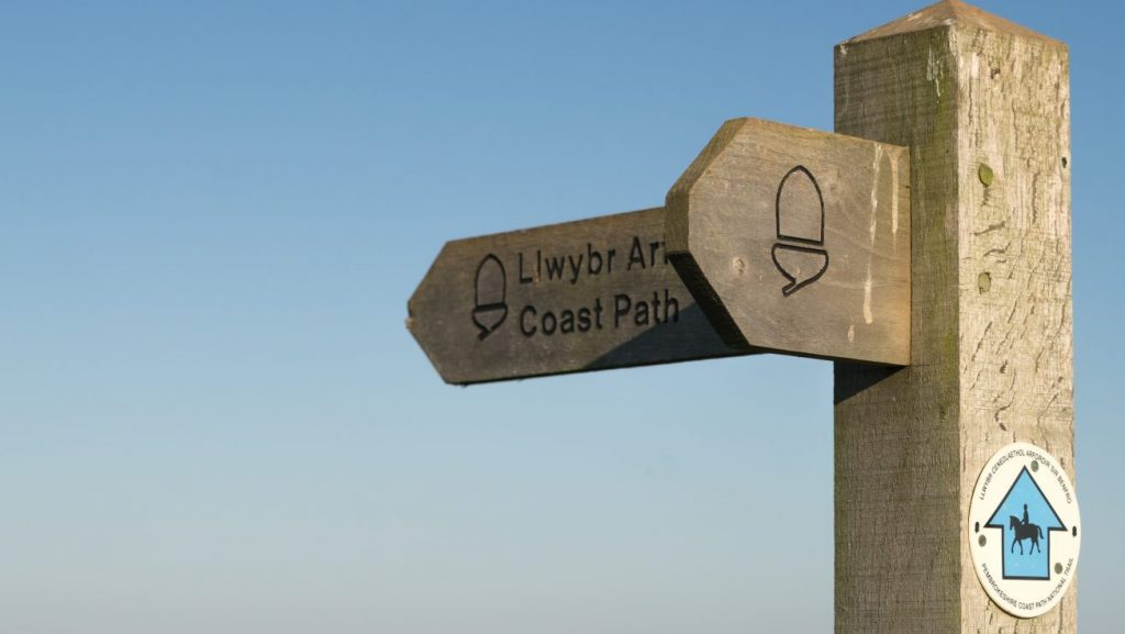
Follow road down and, after houses on right, turn right on to Coast Path at fingerpost.
Follow path along estuary and at fingerpost turn right (signed YHA) on to path, which turns into Lower St Mary Street.
At crossing turn right into East Street and right at next crossing into Long Street, back to bus stop and car park.
NEWPORT, MILL LANE
DISTANCE: 1.0 miles (1.6 km).
PUBLIC TRANSPORT: please refer to Pembrokeshire County Council website
CHARACTER: Fields and livestock, quiet lane walking, woodland. 2 stiles. Steps and steep gradients.#
From car park turn right onto road. From bus stop walk back along road into town.
At crossing go straight on up Market Street, straight at next crossing up Castle Street, which turns into path. up steps, then turn right and follow track down to T junction.
Turn left here and go up Mill Lane, through gate next to cattle grid and follow lane round to right.
Look for fingerpost on right, turn right and right again down track and look for fingerpost ahead by metal gate.
Go through gate and down enclosed footpath. At end cross stile on left and follow obvious footpath down to road.
Cross road, turn right and follow it past petrol station, then turn left into Long Street back to bus stop and car park.
NEWPORT PARROG
DISTANCE: 0.5 miles (0.8 km).
PUBLIC TRANSPORT: please refer to Pembrokeshire County Council website
CHARACTER: Estuary views, some minor road walking. 2 stiles and 1 kissing gate.
From bus stop continue up road. From car park turn right on to road. Follow road for few yards until footpath starts on right.
Follow footpath past houses until reaching ‘Rock House’. Turn left up road and, after houses on right, turn right at crossroad up access track.
Just before track splits, look for stone stile in hedge on right, cross it and follow field edge path, with hedge on left.
Cross stile and follow broad surfaced track ahead for few yards, then take path between ‘Maes y Brenin’ and ‘Bryn y Don’. On reaching Coast Path, turn right and follow seaside path.
This path gets covered by high tides, but at low tide continue along seashore and turn right up slipway, then immediately left, and follow path back to car park and bus stop.
At high tide look for steps in slate wall signed ‘high tide alternative’ and walk up steps, turn left, staying close to wall (please keep off grassed area).
Turn right at start of drive and up steps opposite. Follow enclosed path round, down steps, then turn left, then right, on path back on to the seaside path.
Follow path back to car park and bus stop.
NEWPORT SANDS
DISTANCE: 1.4 miles (2.2 km).
PUBLIC TRANSPORT: please refer to Pembrokeshire County Council website
CHARACTER: Dunes, beach, part across golf course. No stiles or steps, uneven descent on to estuary, sand.
Look for gate and fingerpost on boundary of bottom (or left-hand) car park. Go through gate and straight ahead, following waymarks across golf course.
After leaving golf course, follow path above estuary, go straight on at fingerpost, then turn sharp right on to estuary, just before white house.
Follow river down and, when the dunes end, turn right and walk along beach keeping dunes on right. Turn right up slipway, back to bus stop and car park.
Find Newport Town & Estuary and Mill Lane Walks
Grid ref: SN054396
Find Newport Parrog Walk
Grid ref: SN048397
Find Newport Sands Walk
Grid ref: SN054406
SAFETY FIRST!
- Take great care when on the Coast Path
- Stay on the path and away from cliff edges
- Wear boots and warm, waterproof clothing
- Take extra care in windy and/or wet conditions
- Always supervise children and dogs
- Leave gates and property as you find them


