DISTANCE/DURATION: 3.5 miles (5.6 km) 2 hours
PUBLIC TRANSPORT: Service bus Newport T5 (wheelchair accessible), Poppit Rocket 405 * (seasonal, not wheelchair accessible),
CHARACTER: Steep rugged terrain as Mynydd Carningli is approached
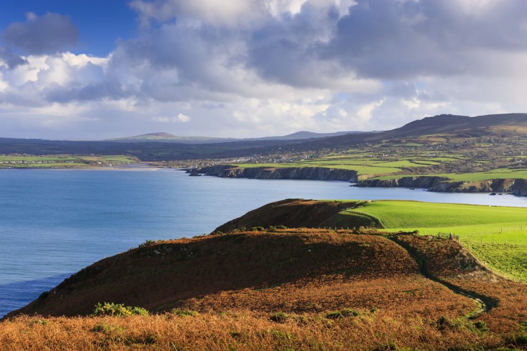
LOOK OUT FOR: Superb coastal and inland views from top of Carningli, Iron Age fort with parts of rampart and hut circles evident, Open common land, Norman Castle.
The town’s Welsh name, Trefdraeth, translates as Beach Town, but Newport actually boasts two beaches – the Parrog and Newport Sands – that are separated by the River Nevern.
One of the most striking hills in Pembrokeshire, rocky Carningli is a brooding presence over the town of Newport.
When the sun is setting, Carningli’s profile against the red sky makes the hill look rather like the volcano it once was. Its hard dolerite rock is the solid core of cooled magma that was once the volcano’s heart.
Don’t worry though, it last erupted around 450 million years ago. Carningli translates as the Mountain of Angels. It may have been a holy site long before Christian times but since the Age of the Saints the hilltop has been associated with the Celtic St Brynach.
Not a great deal is known about Brynach, who was a 6th century missionary. One of the few references to him describes him as a ‘Son of Israel’ and he is also said to have talked with animals and birds.
Legend has it Brynach communed with angels, possibly at the top of Carningli. Listen out for the song of skylarks and you may also hear the harsh nasal call of ravens.
Carningli Common provides grazing for free-roaming sheep, cattle and ponies. Everywhere there are clues to past occupation. There was a hill fort on Carningli during the Iron Age, while the remains of groups of huts.
Find this Walk
Grid ref: SN056392
COUNTRY CODE!
- Enjoy the countryside and respect its life and work
- Guard against all risk of fire
- Leave gates and property as you find them
- Keep your dogs under close control
- Keep to public paths across farmland
- Take your litter home


